
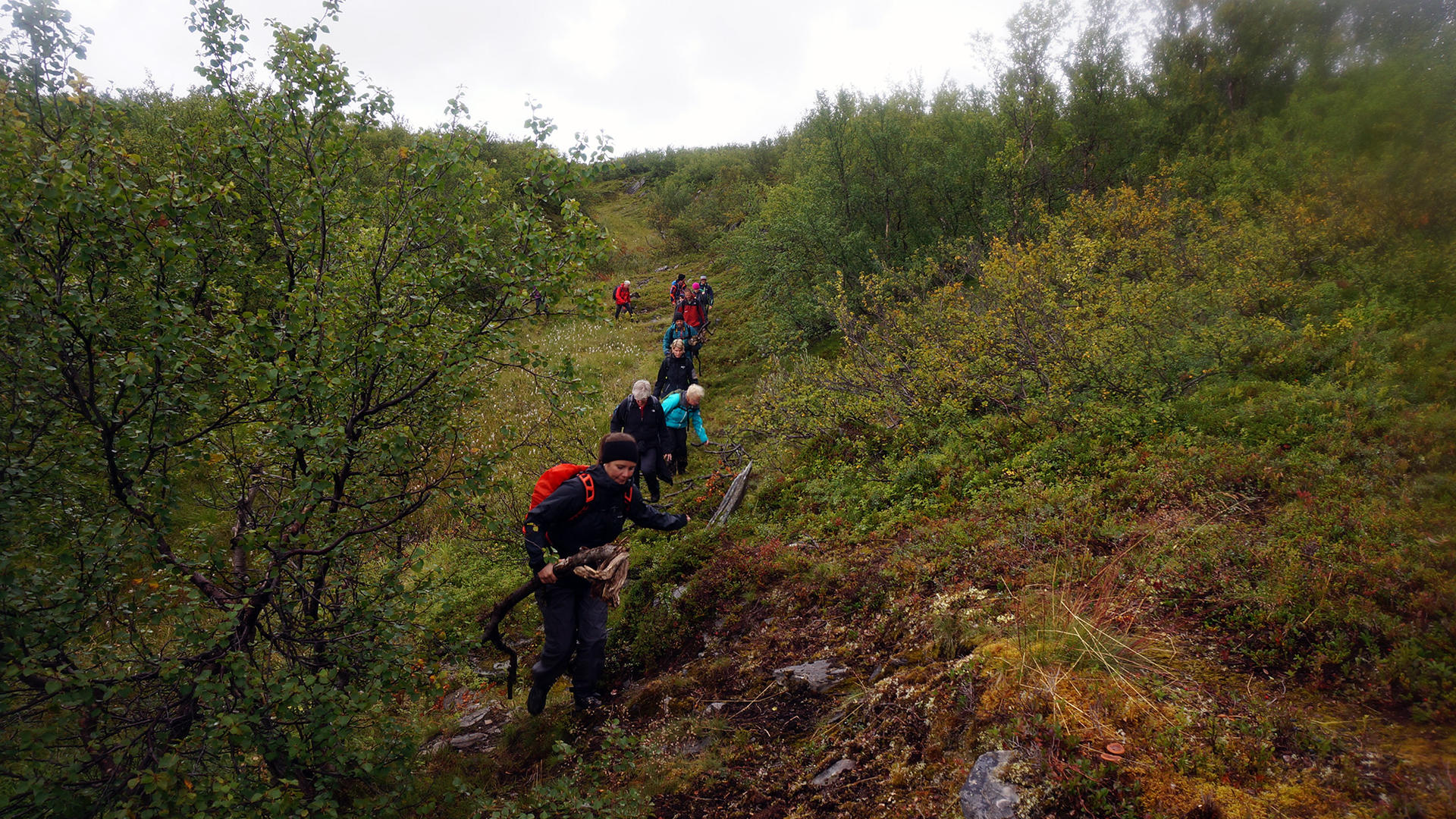
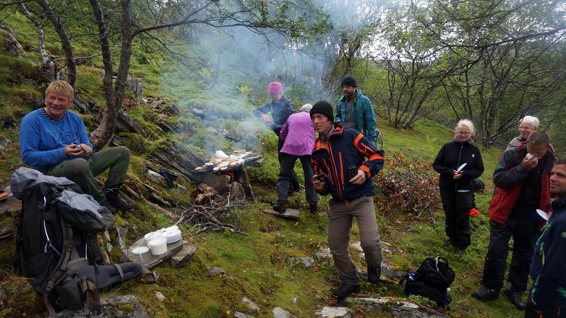
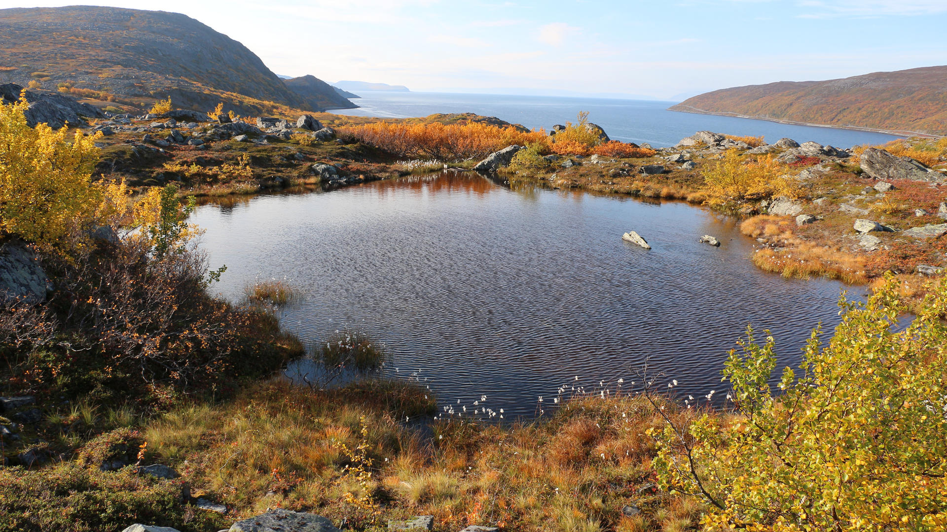
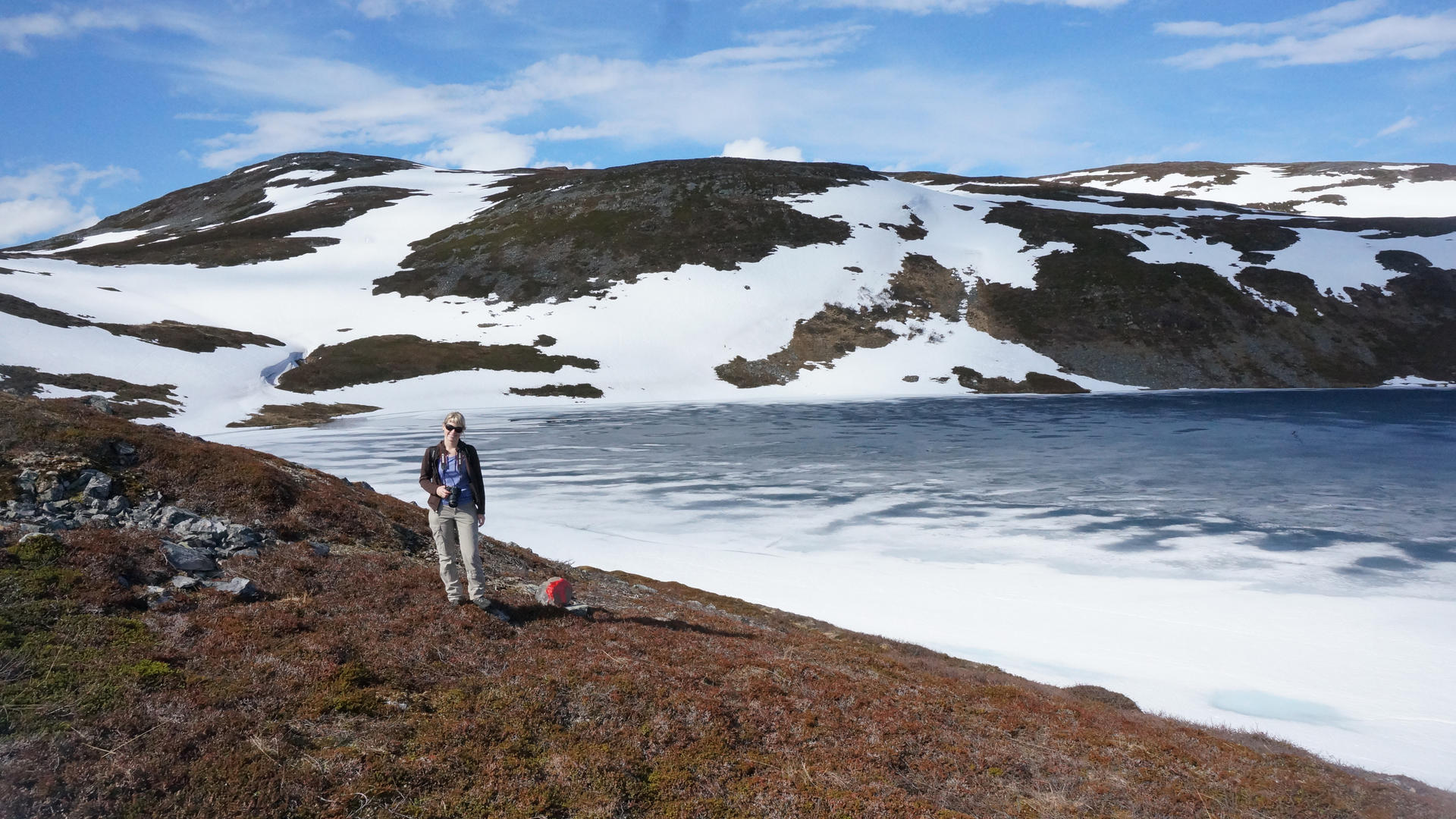
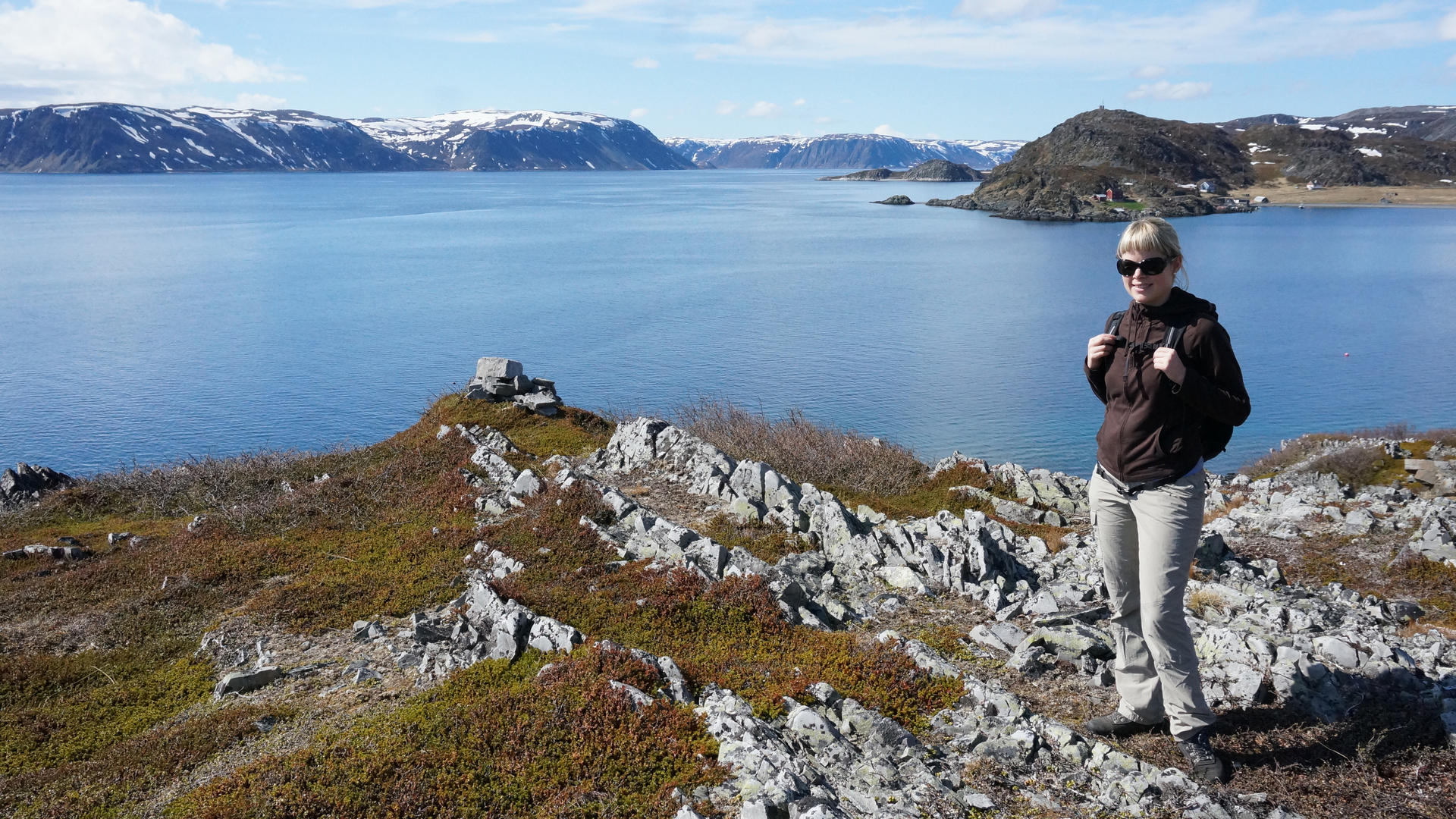
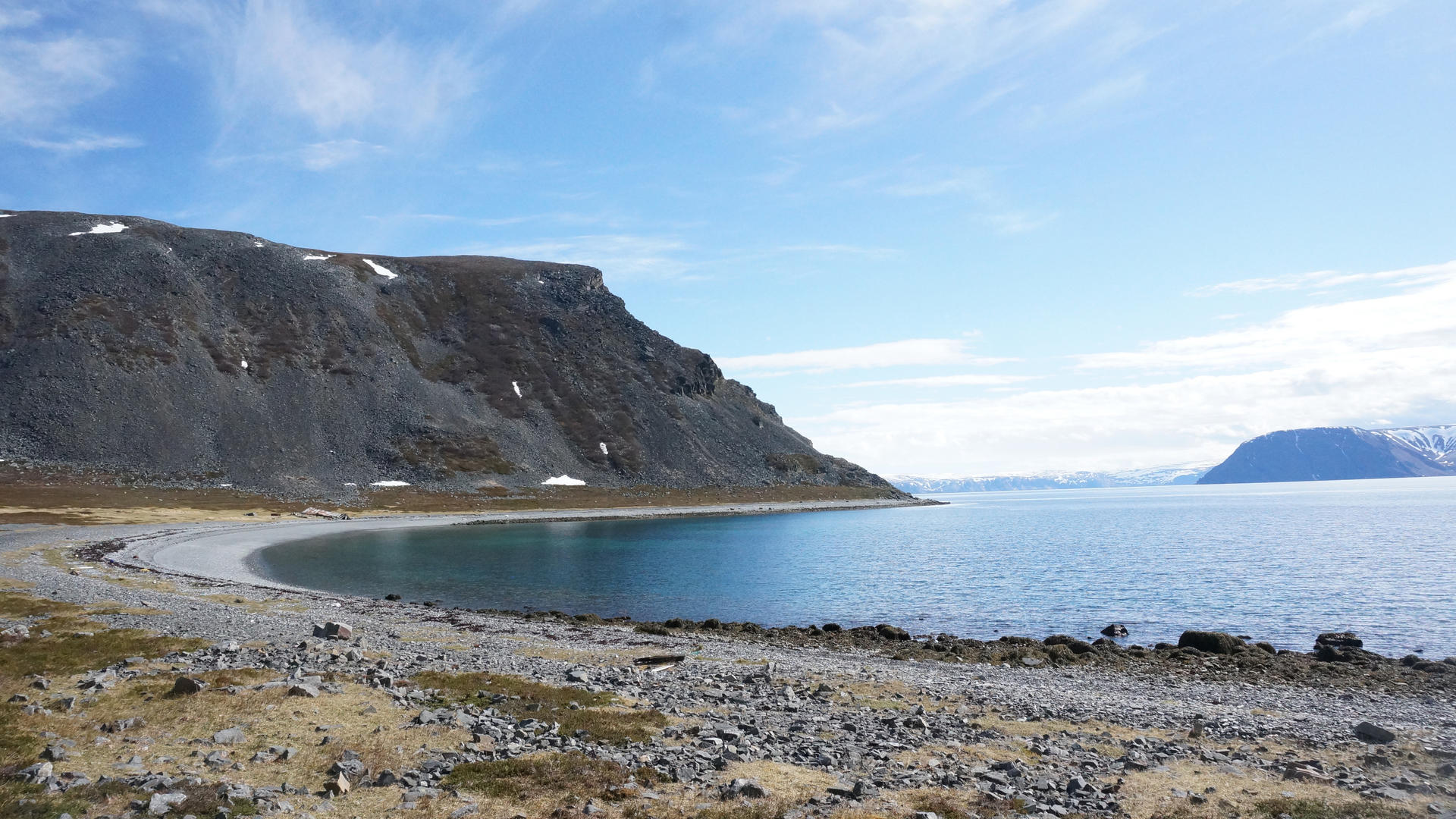
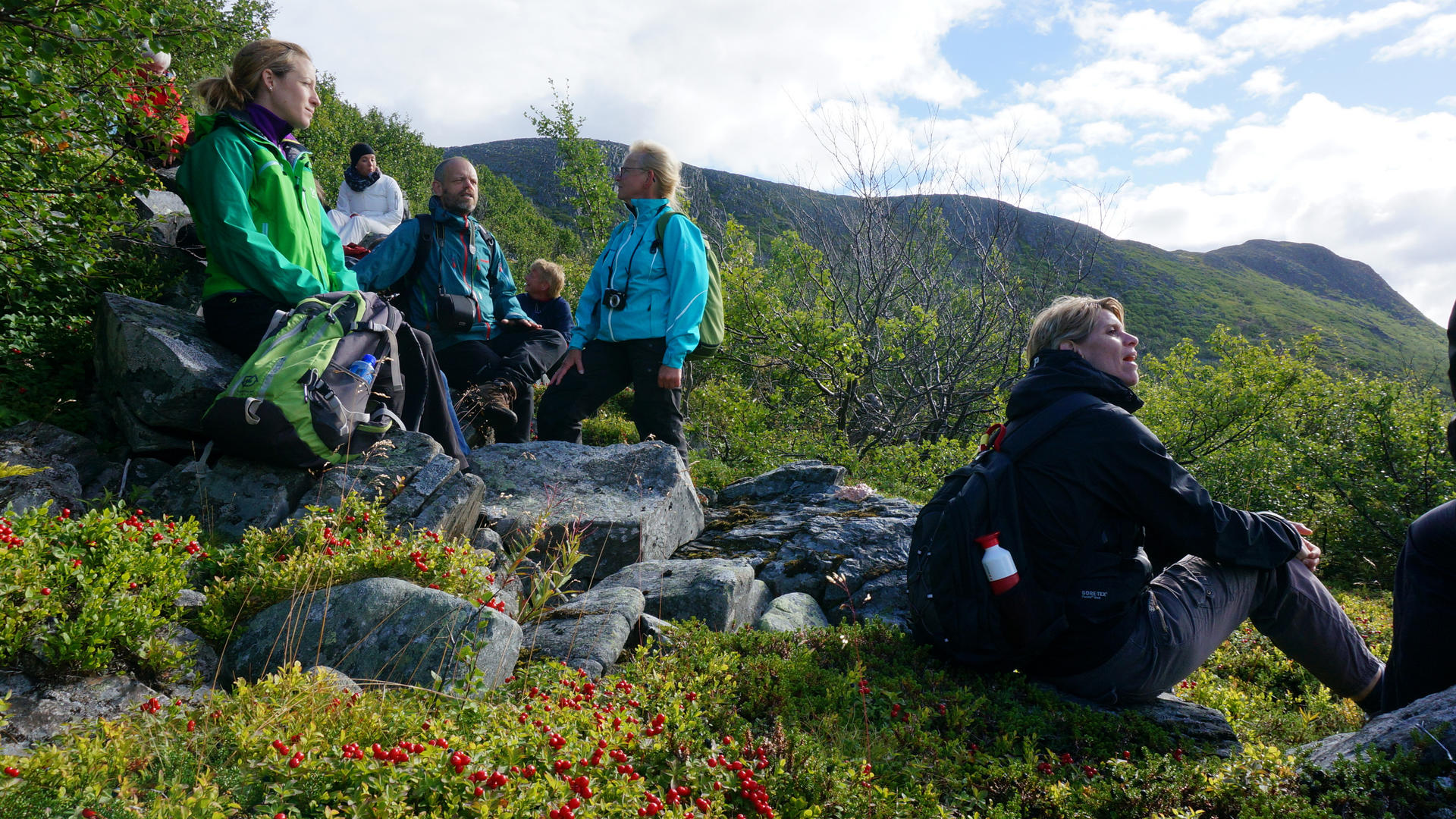
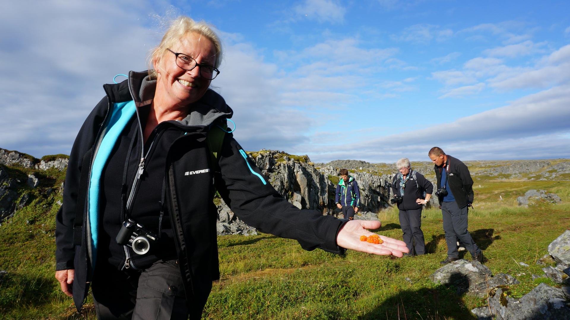
Hiking on the Nordkyn Peninsula
Hiking Map of Nordkyn
Hiking on the Nordkyn Peninsula
Mehamn/Sandfjordvannene - Cape Nordkinn
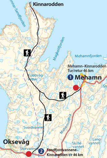
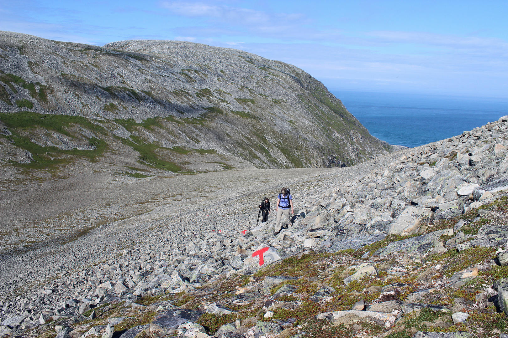
Marking
The trail is marked with direction arrows indicating the distance in kilometres, together with red T’s and GPS coordinates.
Altitude
The trail’s highest point is ca 300 metres above sea level.
Estimated duration
Normally requires an overnight stop. If you walk with normal breaks you should allow roughly 10 to 12 hours one way, at around 2 to 2½ km/h.
Difficulty level
This is a harsh trail suitable for experienced hikers. Relatively flat, but with long stretches of rocky terrain and occasional loose stones. No climbing.
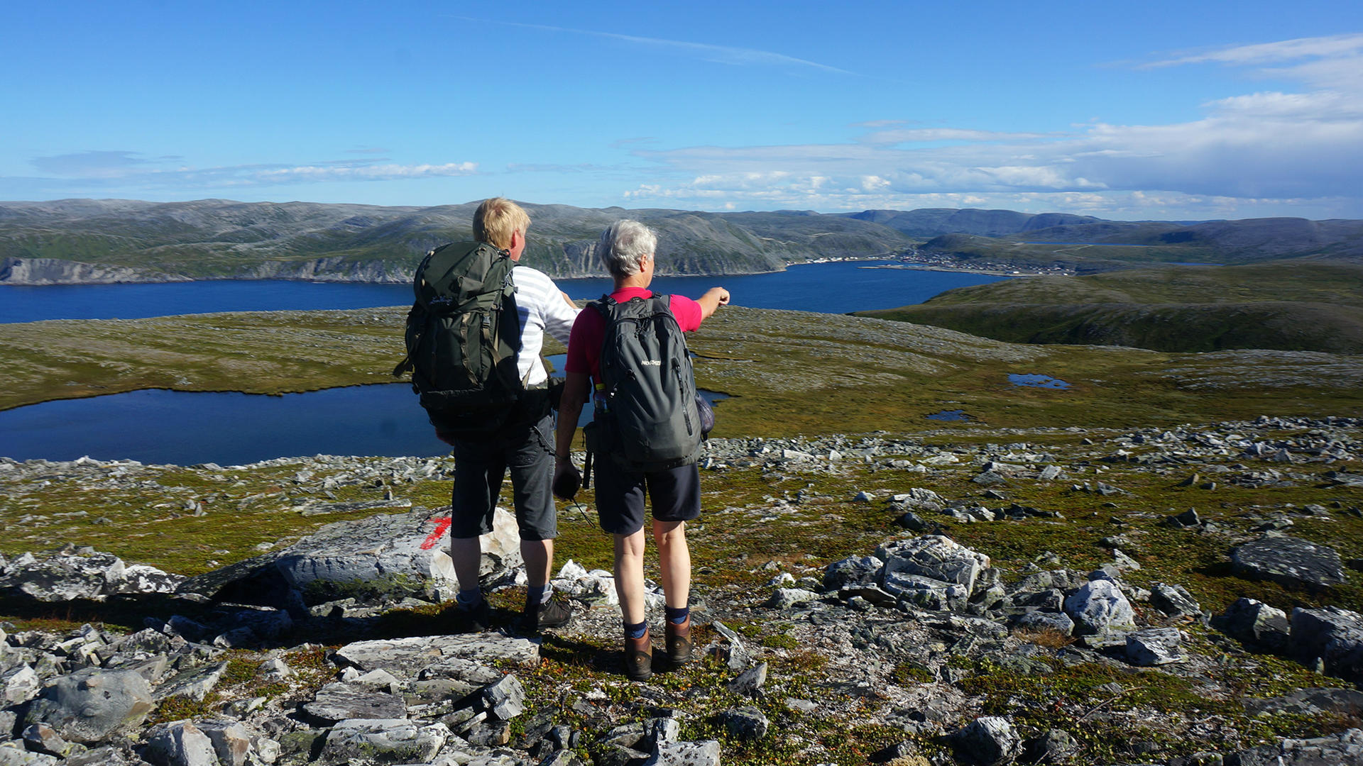
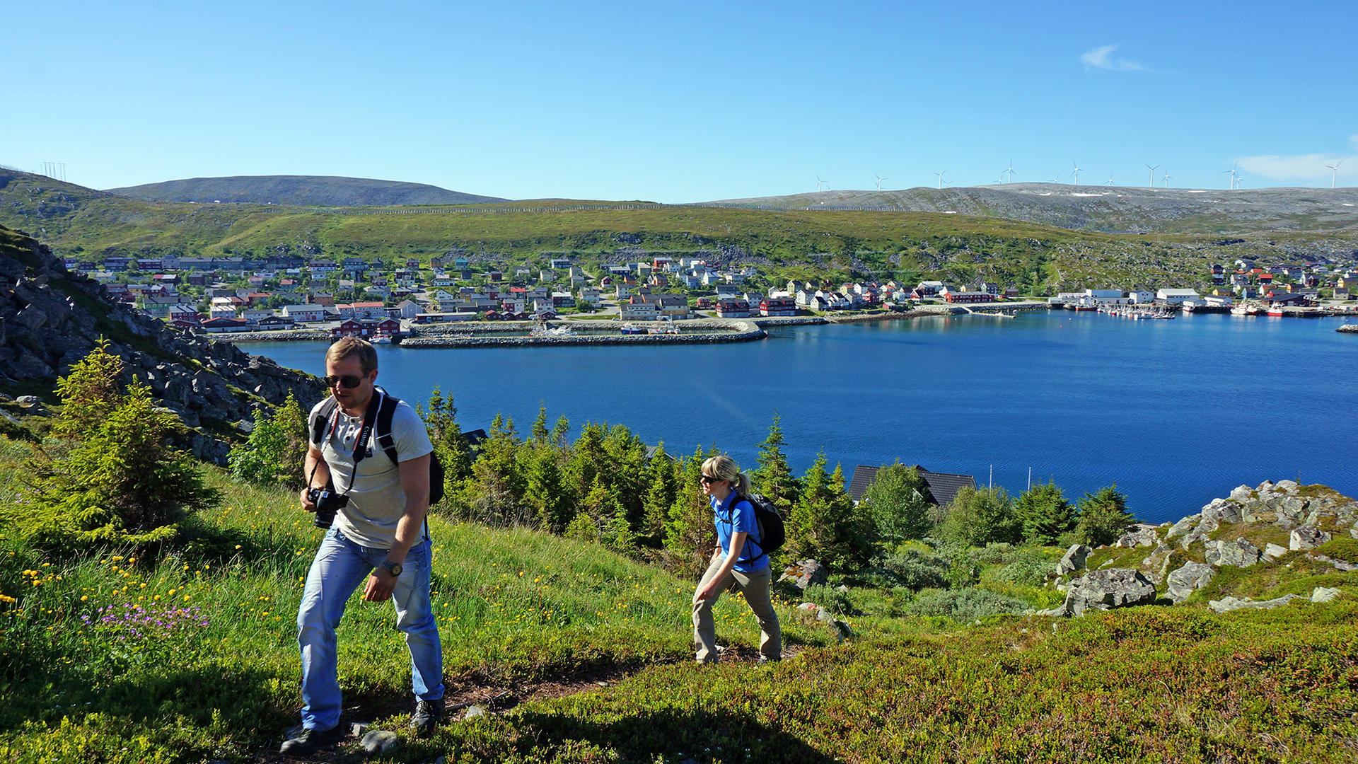
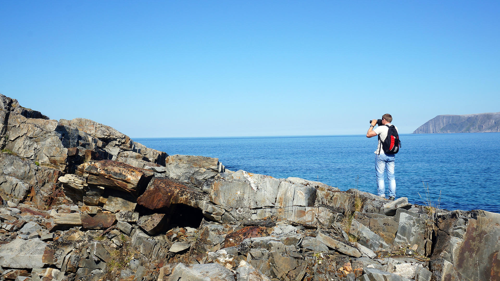
Mehamn/Sandfjordvannene - Cape Nordkinn
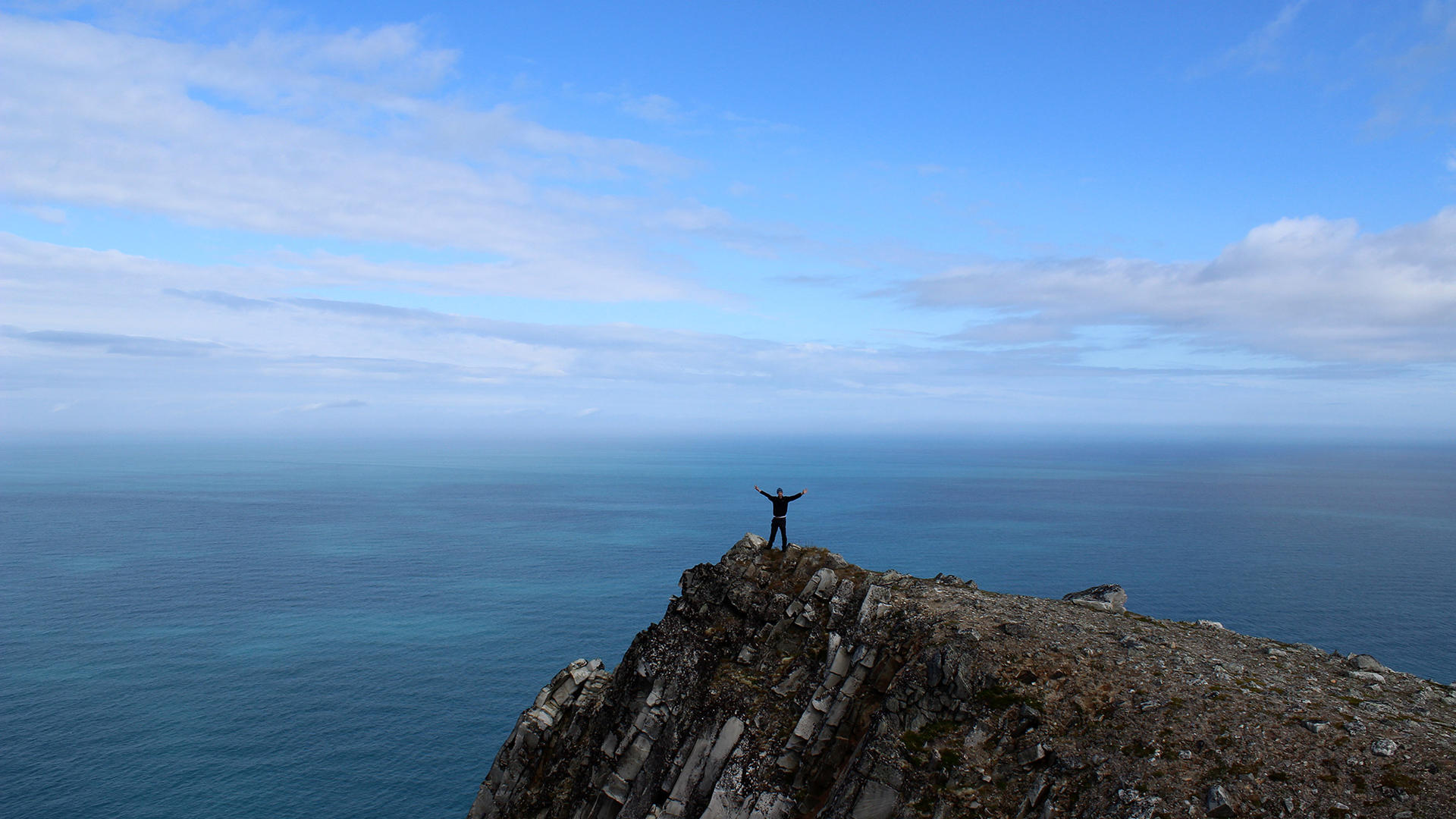
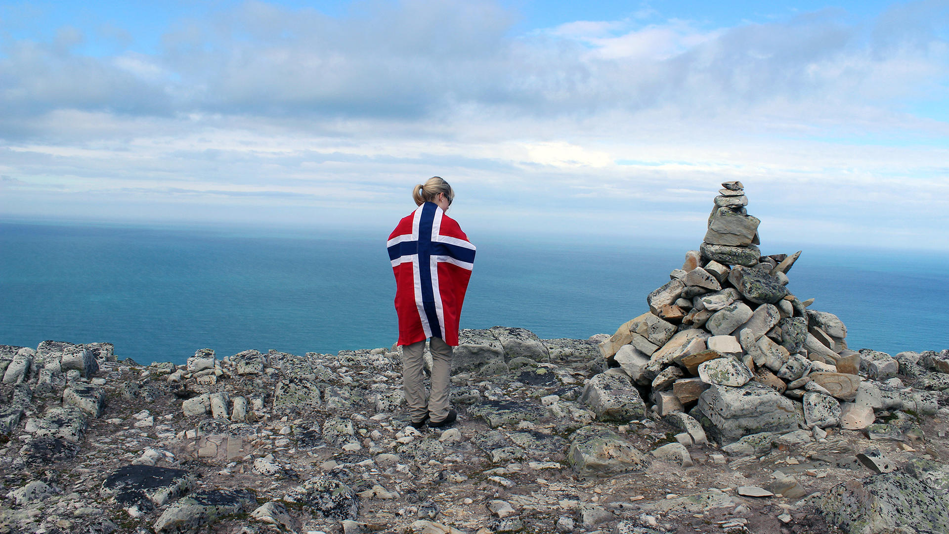
Cape Nordkinn Trail
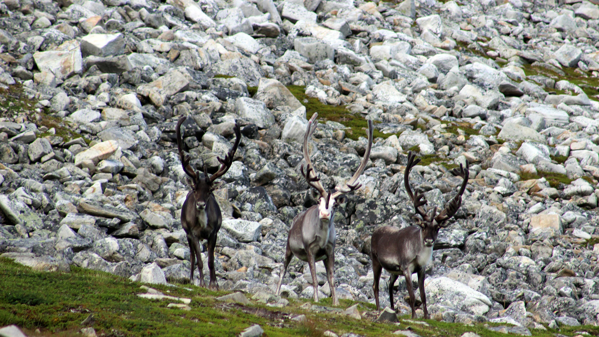
Hiking on Nordkyn
Mehamn/Sandfjordvannene - Cape Nordkinn
Cape Nordkinn Trail
Hiking on Nordkyn
Mehamn/Sandfjordvannene - Cape Nordkinn
Cape Nordkinn Trail
Hiking on Nordkyn
Mehamn/Sandfjordvannene - Cape Nordkinn
Cape Nordkinn Trail
Hiking on Nordkyn
Mehamn/Sandfjordvannene - Cape Nordkinn
Cape Nordkinn Trail
Hiking on Nordkyn
Hiking on the Nordkyn Peninsula
Finnkirka - Mostavika
Marking
The trail is marked with direction arrows indicating the distance in kilometres, together with red T’s and GPS coordinates.
Altitude
The trail’s highest point is ca 250 metres above sea level.
Estimated duration
3 hours.
Difficulty
Low to medium.
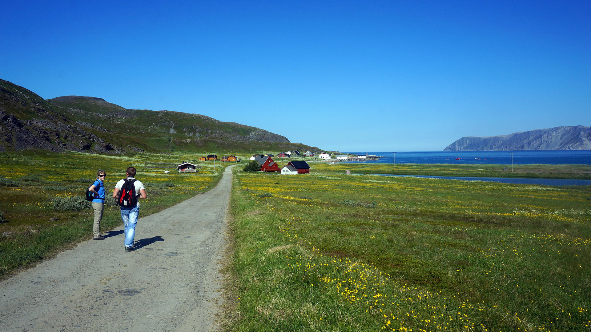
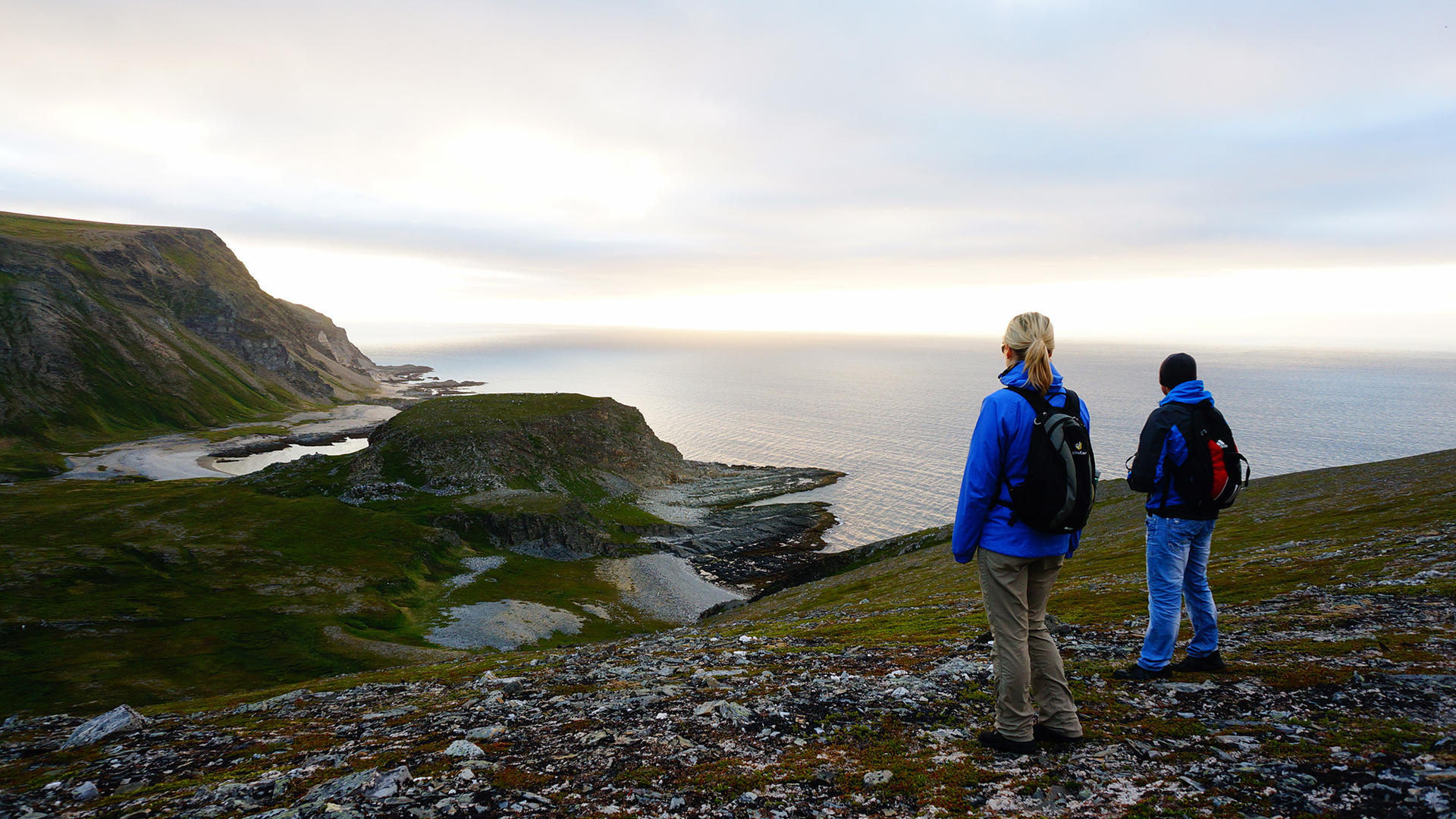
Finnkirka - Mostavika
Hiking on Nordkyn
Finnkirka - Mostavika
Hiking on Nordkyn
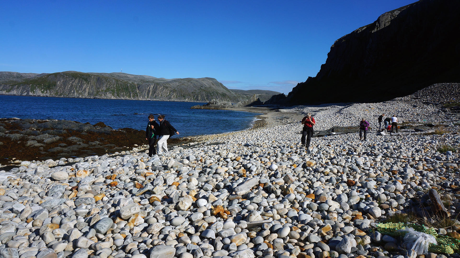
Finnkirka - Mostavika
Wandering the beach at Mostavika.
Hiking on Nordkyn
Hiking on the Nordkyn Peninsula
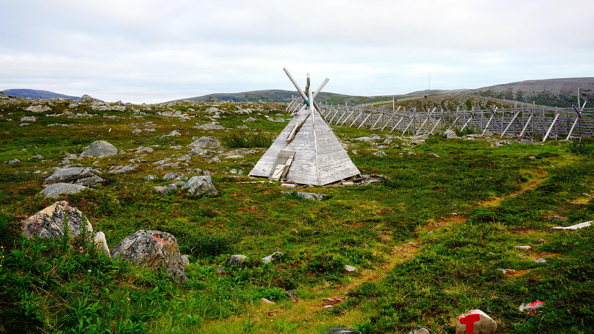
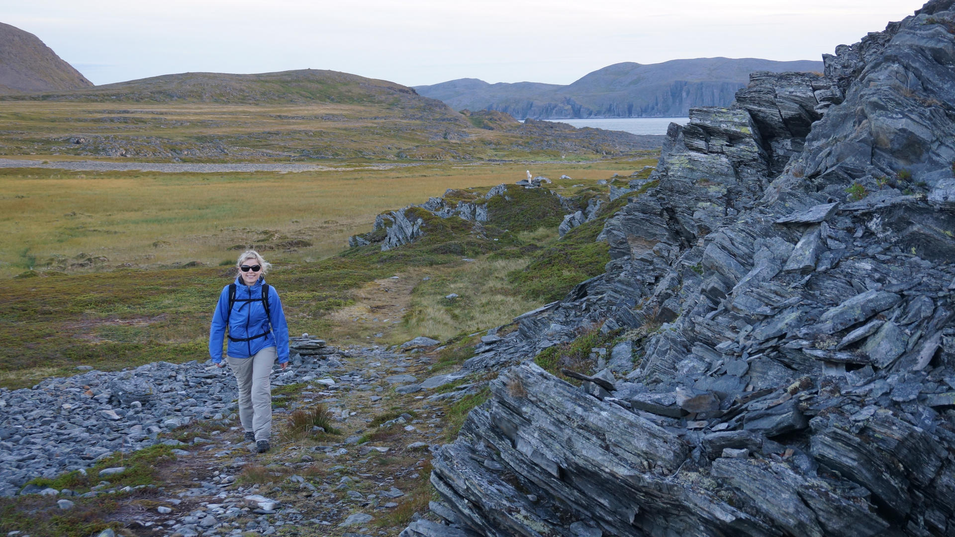
Skjøtningberg - Klubben - Kirkefjellet
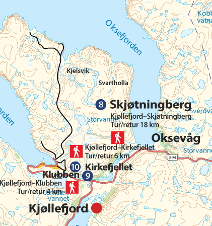
Marking
The trail is marked with arrows and red “T’s” as well as GPS coordinates.
Height
The highest point on the trail to Skjøtningberg: ca. 200 metres above sea level.
Duration
Skjøtningberg: 18 km t/r, ca 4 hours. Klubben: 4 km t/r, ca 1 hour. Kirkefjellet: 4km t/r, ca 1 hour.
Difficulty
Light to medium.
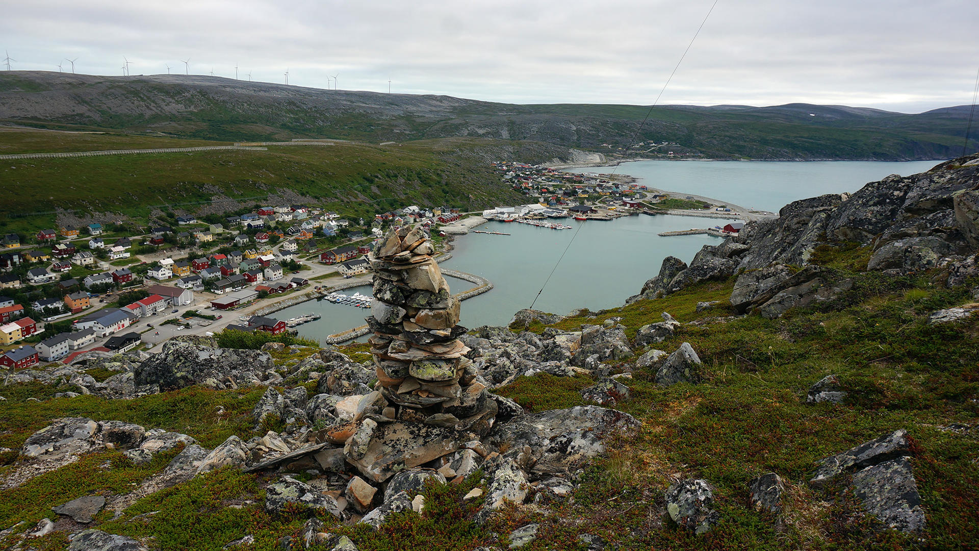
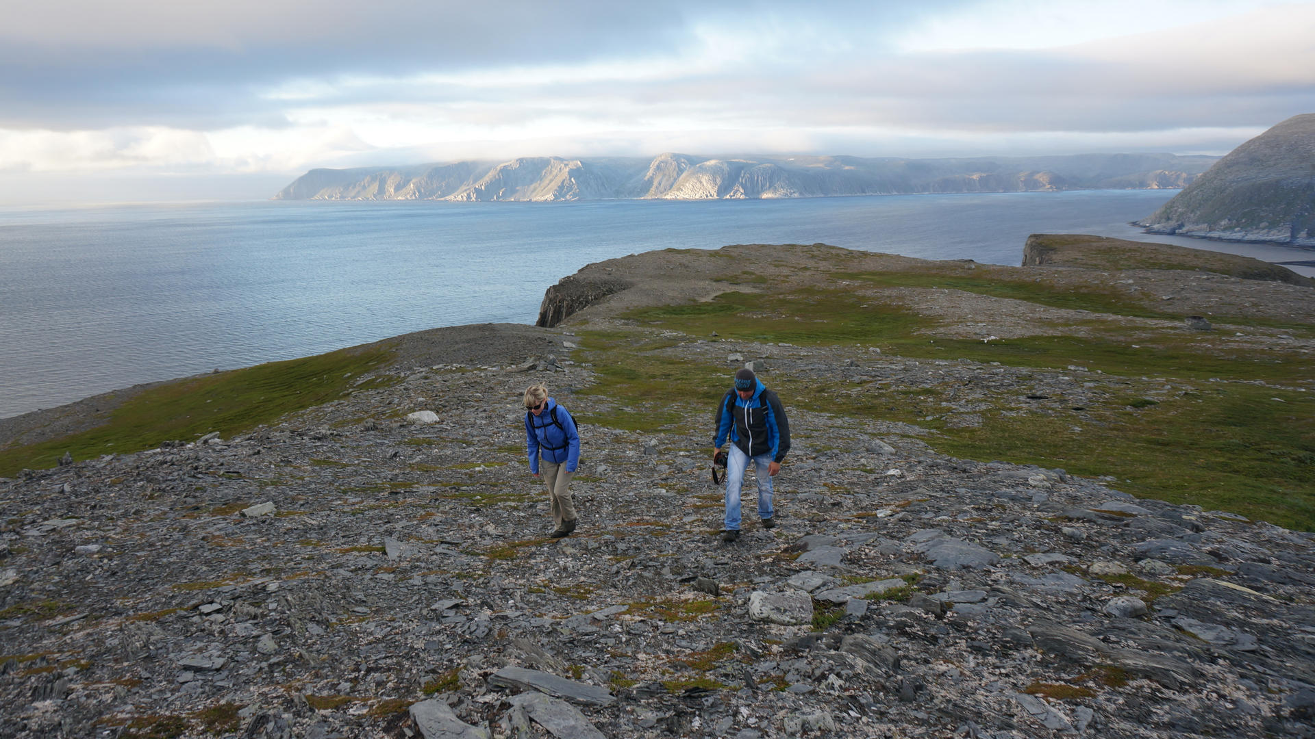
Skjøtningberg - Klubben - Kirkefjellet
Kirkefjellet Trail
Hiking on Nordkyn
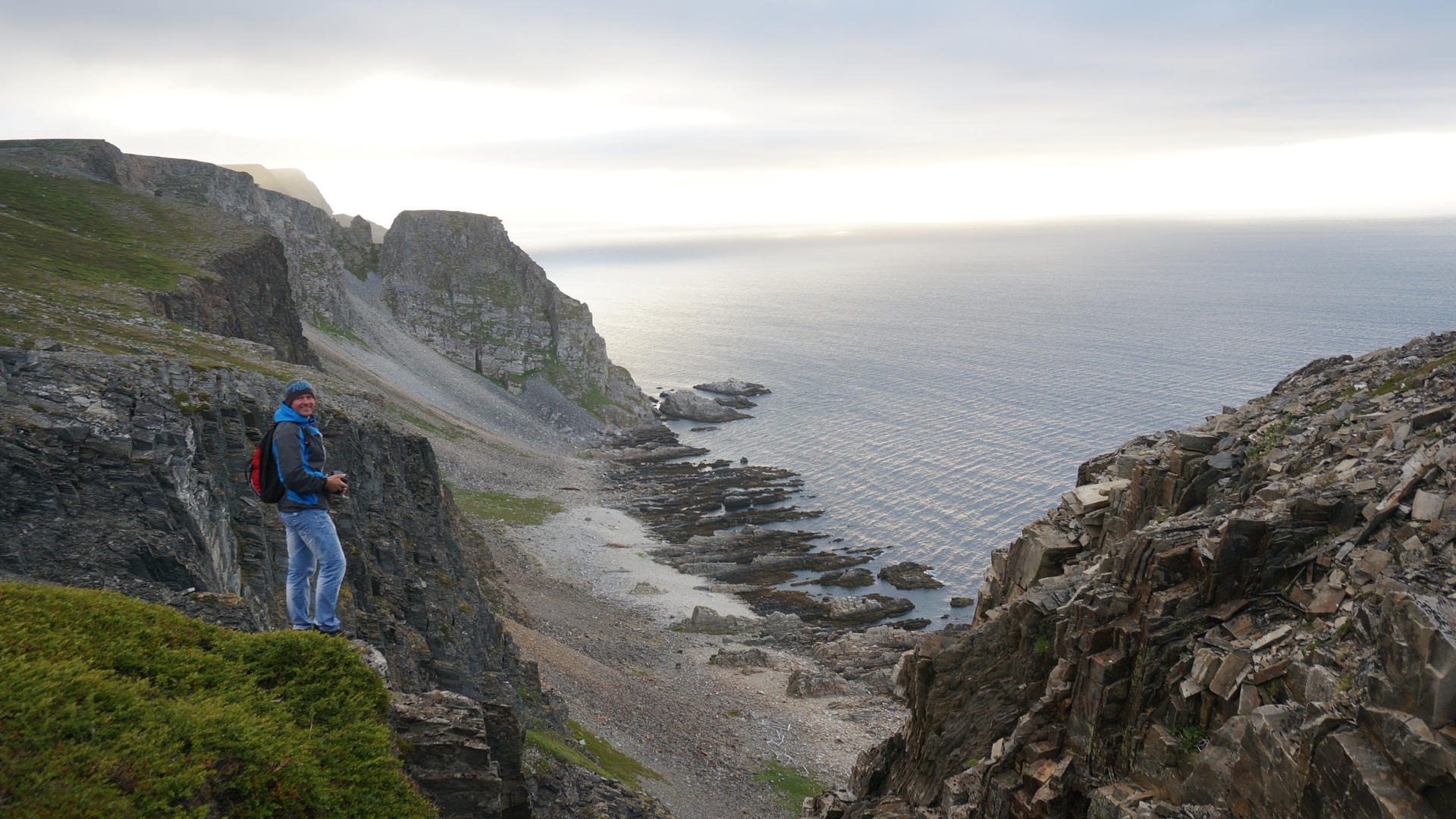
Skjøtningberg - Klubben - Kirkefjellet
Kirkefjellet Trail
Hiking on Nordkyn
Skjøtningberg - Klubben - Kirkefjellet
Kirkefjellet Trail
Hiking on Nordkyn
Skjøtningberg - Klubben - Kirkefjellet
Hiking on Nordkyn
Skjøtningberg - Klubben - Kirkefjellet
Hiking on Nordkyn
Skjøtningberg - Klubben - Kirkefjellet
Hiking on Nordkyn
Hiking on the Nordkyn Peninsula
Skjøtningberg - Kjelsvika

Marking
The trail is marked with red T’s and GPS coordinates.
Altitude
The trail’s highest point is ca 200 metres above sea level.
Estimated duration
7 km t/r, ca 3-4 hours.
Difficulty
Mostly flat and walking friendly terrain with some hilly parts.
Skjøtningberg - Kjelsvika
Hiking on Nordkyn
Skjøtningberg - Kjelsvika
Hiking on Nordkyn
Skjøtningberg - Kjelsvika
Hiking on Nordkyn
Hiking on the Nordkyn Peninsula
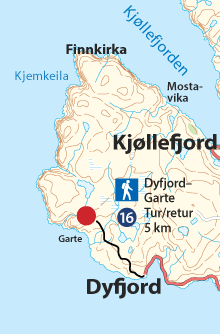
Kjøllefjord - Dyfjord
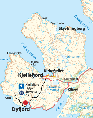
Marking
The trail is marked with red T’s and GPS coordinates.
Altitude
The trail's highest point is ca 270 metres above sea level.
Estimated duration
14 km t/r, ca 6 hours.
Difficulty
The start of the trail is uphill along the road to the wind turbines at the highest point, thereafter some hilly terrain and downhill for the majority of the trail.
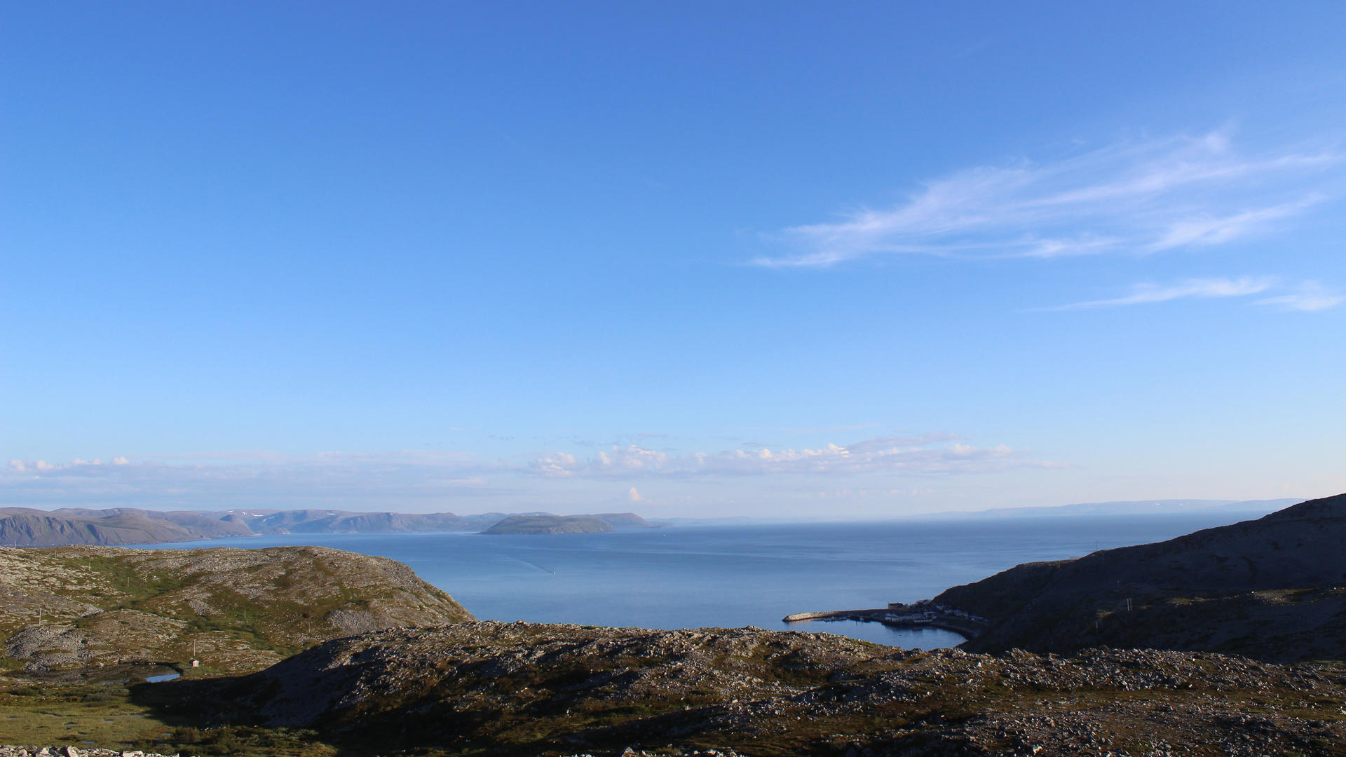
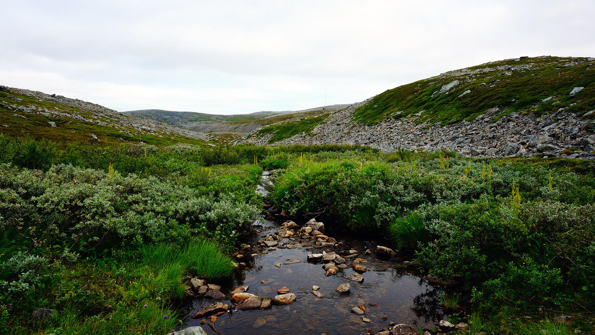
Kjøllefjord - Dyfjord
Hiking on Nordkyn
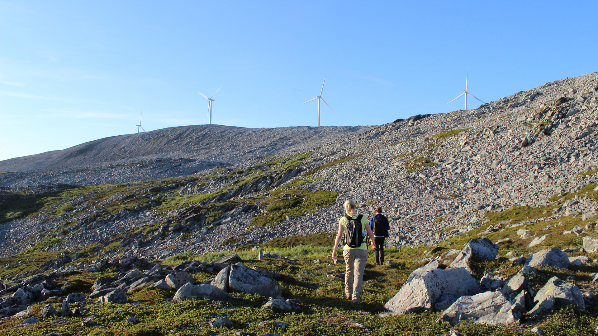
Kjøllefjord - Dyfjord
Hiking on Nordkyn
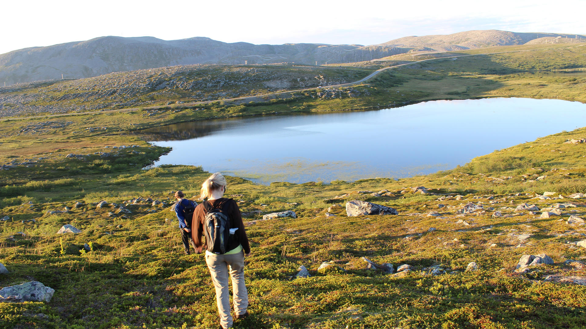
Kjøllefjord - Dyfjord
Hiking on Nordkyn
Hiking on the Nordkyn Peninsula
Nordmannset
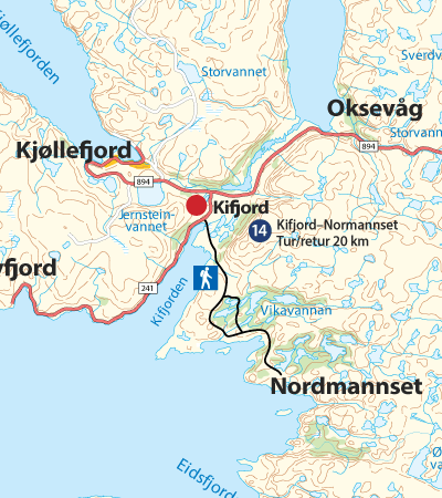
Marking
The trail is marked with direction arrows indicating the distance in kilometres, together with red T’s and GPS coordinates.
Altitude
The trail’s highest point is ca 100 metres above sea level.
Estimated duration
20 km t/r, 5 hours.
Difficulty
Medium. Generally flat, undemanding terrain.
Nordmannset
Nordmannset Trail
Hiking on Nordkyn
Nordmannset
Nordmannset Trail
Hiking on Nordkyn
Nordmannset
Hiking on Nordkyn
Hiking on the Nordkyn Peninsula
Skjånes - Kjeskelvik
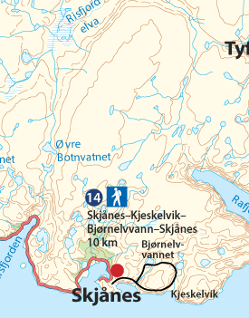
Marking
The trail is marked with red T’s and GPS coordinates.
Altitude
The trail’s highest point is ca 180 metres above sea level.
Estimated duration
10 km t/r, ca 3-4 timer hours/Stunden
Difficulty
Easy/medium. Generally flat and green, walking friendly terrain.
Skjånes - Kjeskelvik
Hiking on Nordkyn
Skjånes - Kjeskelvik
Hiking on Nordkyn
Skjånes - Kjeskelvik
Hiking on Nordkyn
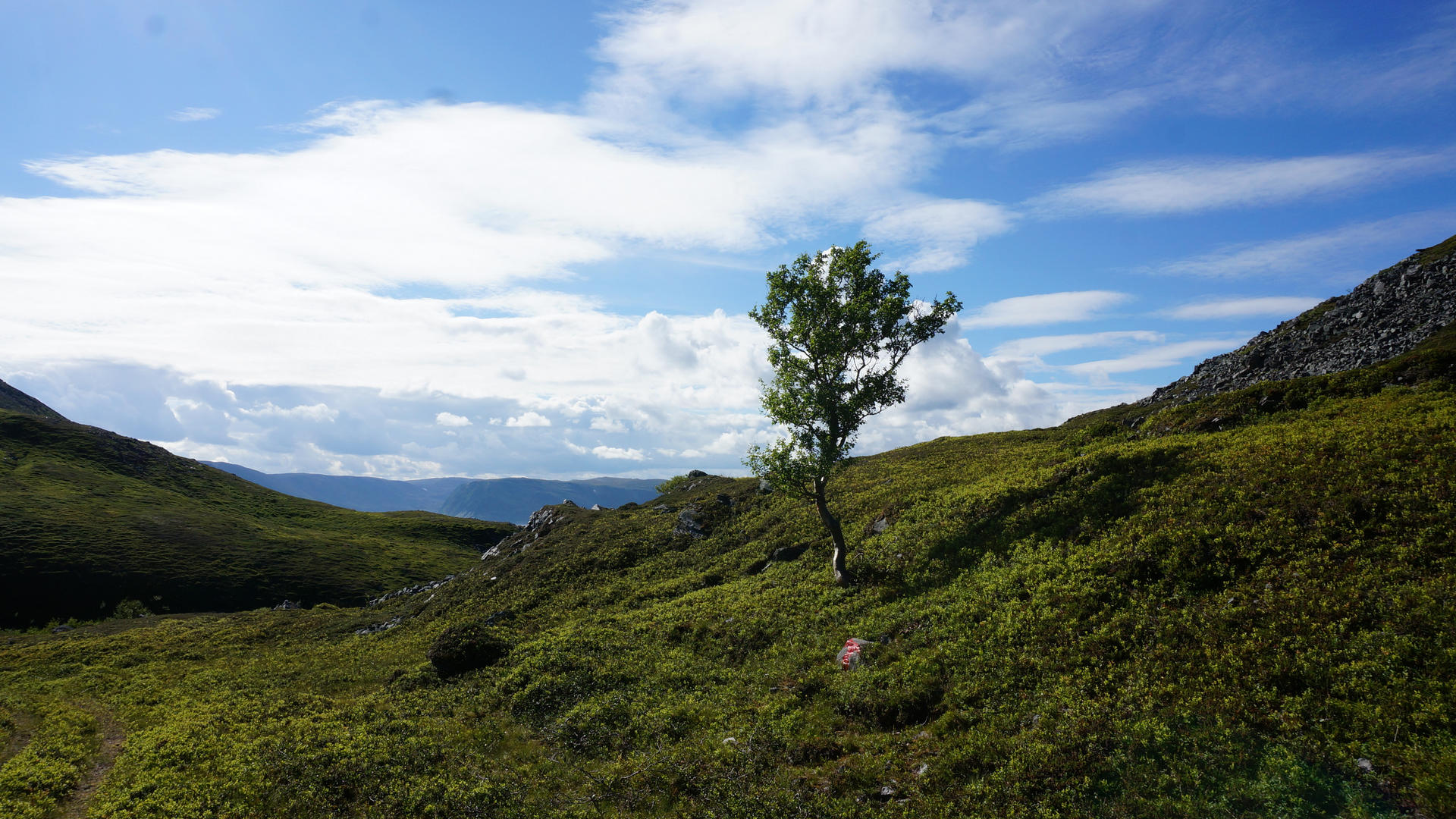
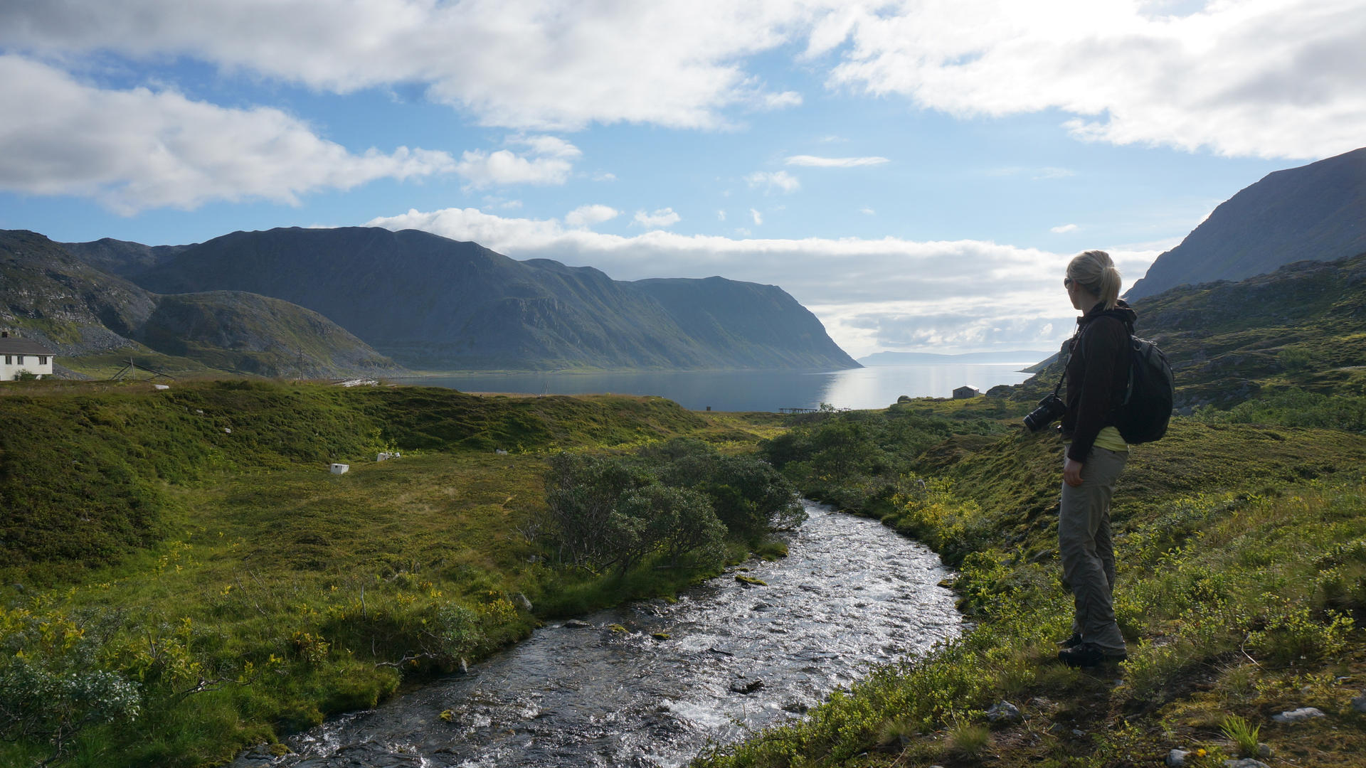
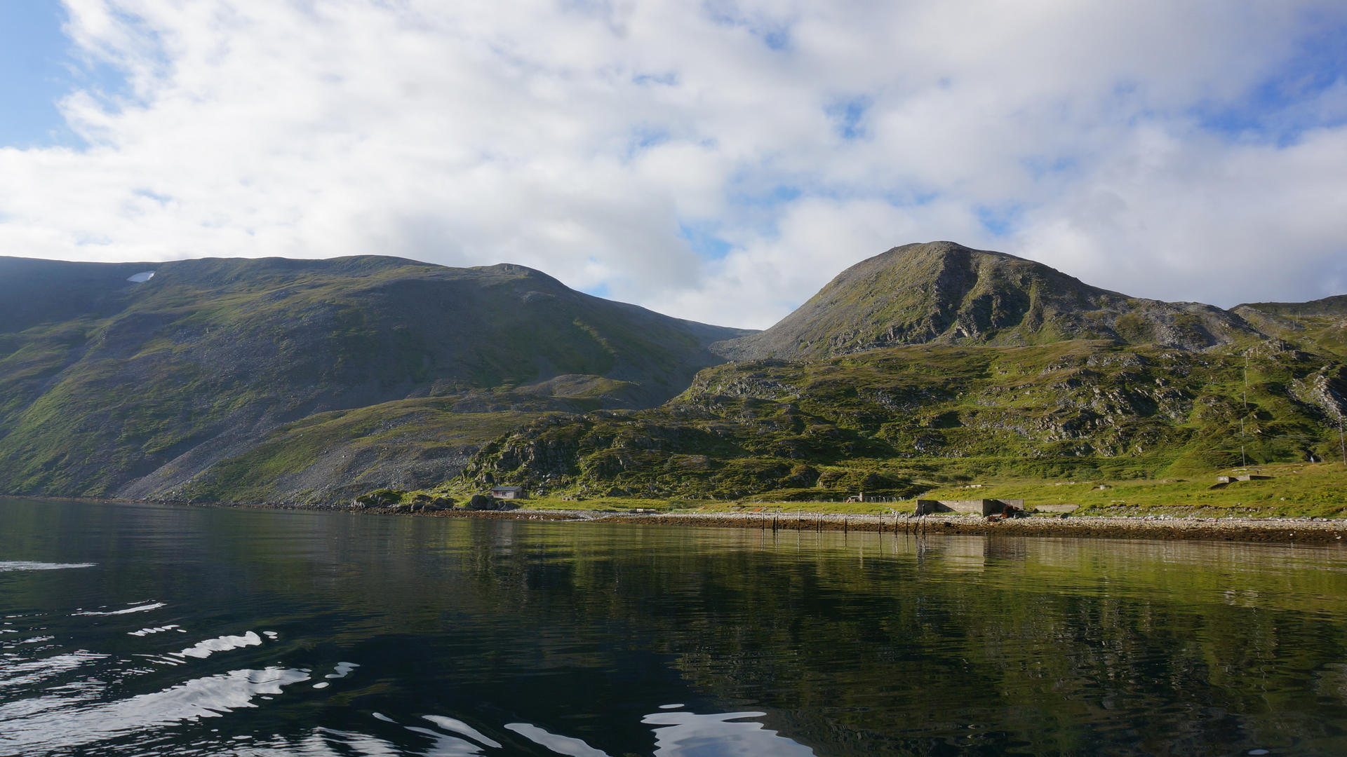
Hiking on the Nordkyn Peninsula
Skjånes - Tyfjord
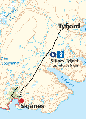
Marking
The trail is marked with directional arrows indicating the distance in kilometers and with red T’s and GPS coordinates.
Altitude
The trail’s highest point is ca 320 metres above sea level.
Estimated duration
36 km t/3, ca 7 hours.
Difficulty
In general easy and flat terrain.
Skjånes - Tyfjord
Hiking on Nordkyn
Skjånes - Tyfjord
Hiking on Nordkyn
Skjånes - Tyfjord
Hiking on Nordkyn
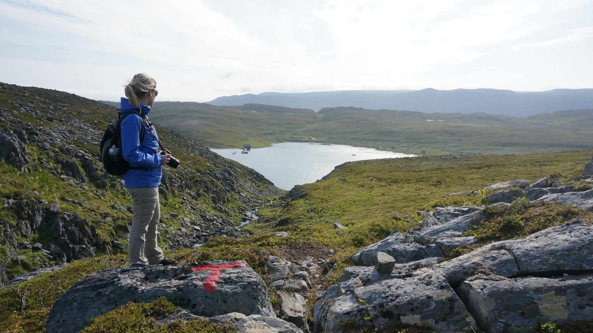
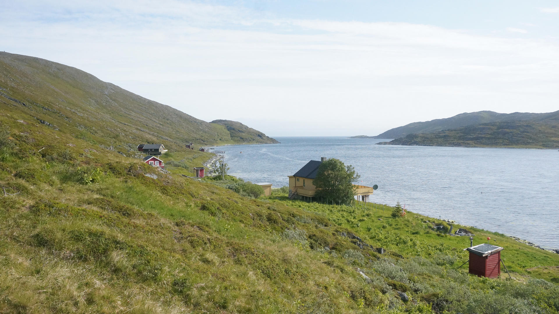
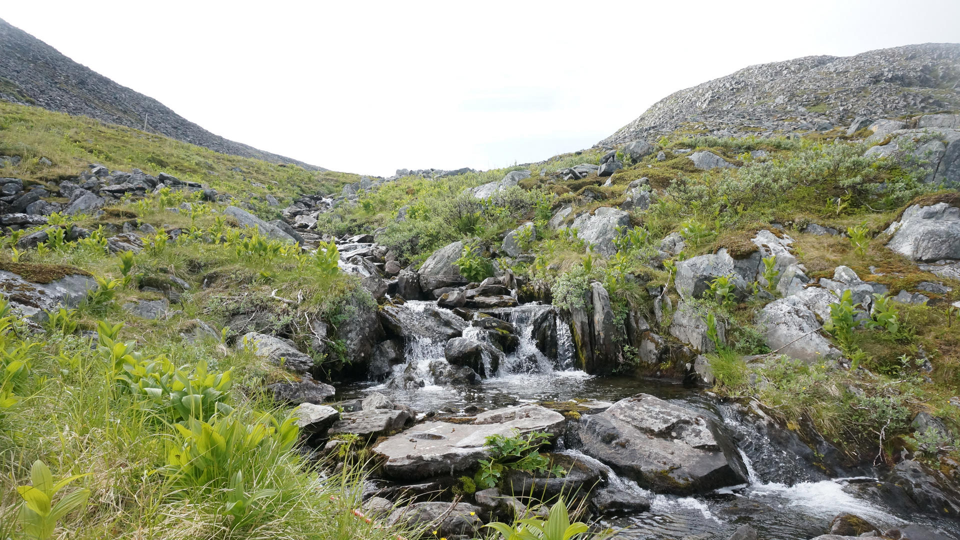
Hiking on the Nordkyn Peninsula
Risfjord
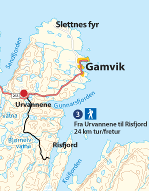
Marking
The trail is marked with directional arrows indicating the distance in kilometers and with red T’s and GPS coordinates.
Altitude
The trail’s highest point is ca 200 metres above sea level.
Estimated duration
24 km t/r, ca 5 hours.
Difficulty
Medium. For the most part flat terrain with a few small hilly parts.
Risfjord
Hiking on Nordkyn
Risfjord
Hiking on Nordkyn
Risfjord
Hiking on Nordkyn
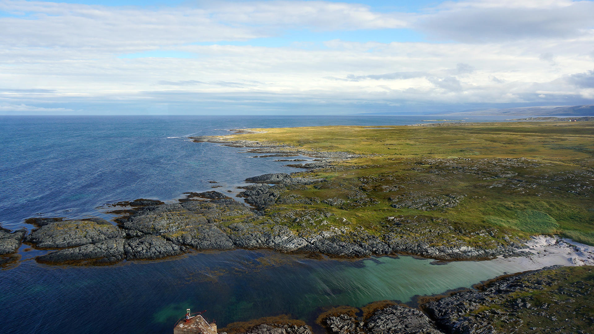
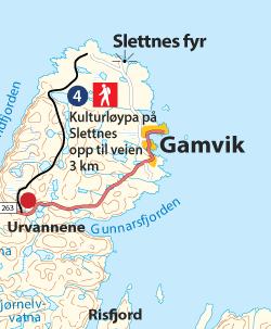
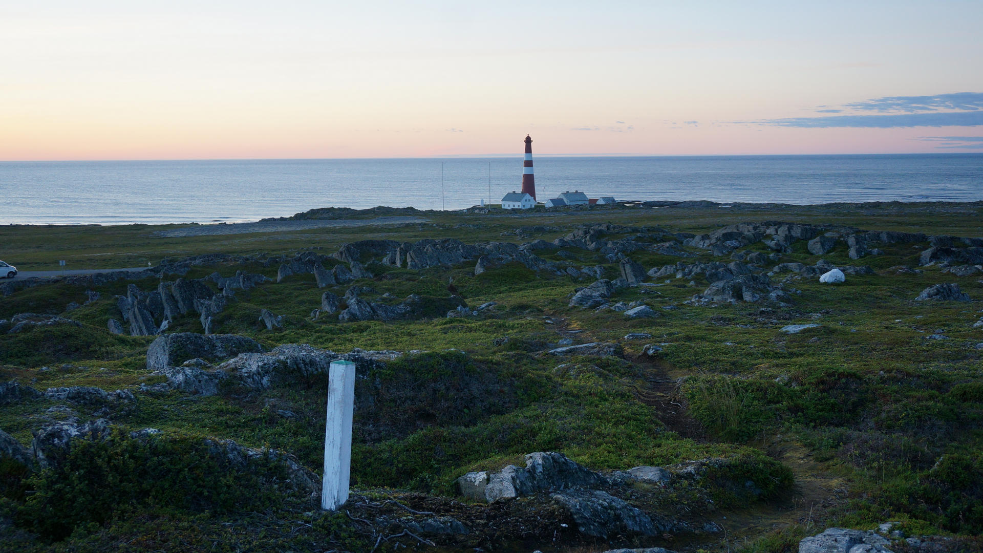
Hiking on the Nordkyn Peninsula
Slettnes
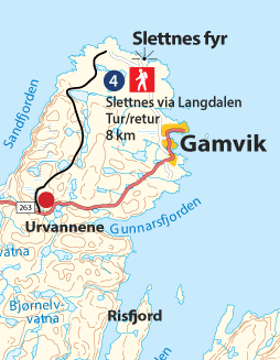
Marking
Since the trail is along a protected area, there are no markings of red T’s, but it is marked with GPS coordinates.
Altitude
The highest point is ca 180 metres above sea level, which is at the beginning of the trail.
Estimated duration
8km round trip, ca 3 hours.
Difficulty level
Medium. Rocky in parts, especially in the beginning.
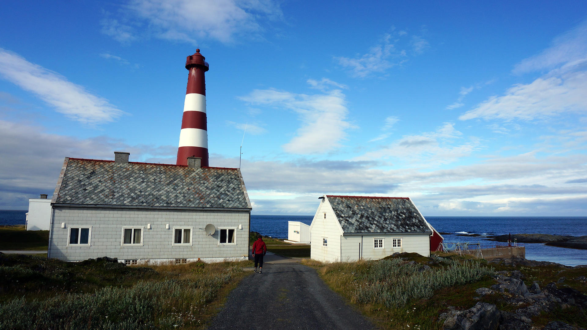
Slettnes
Slettnes Trail
Hiking on Nordkyn
Slettnes
Slettnes Trail
Hiking on Nordkyn
Slettnes
Hiking on Nordkyn
Slettnes
Hiking on Nordkyn
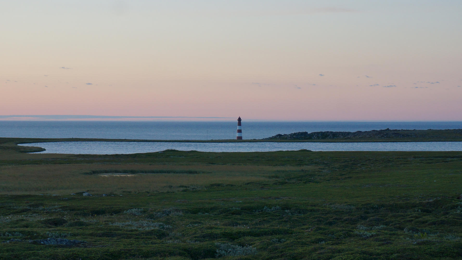
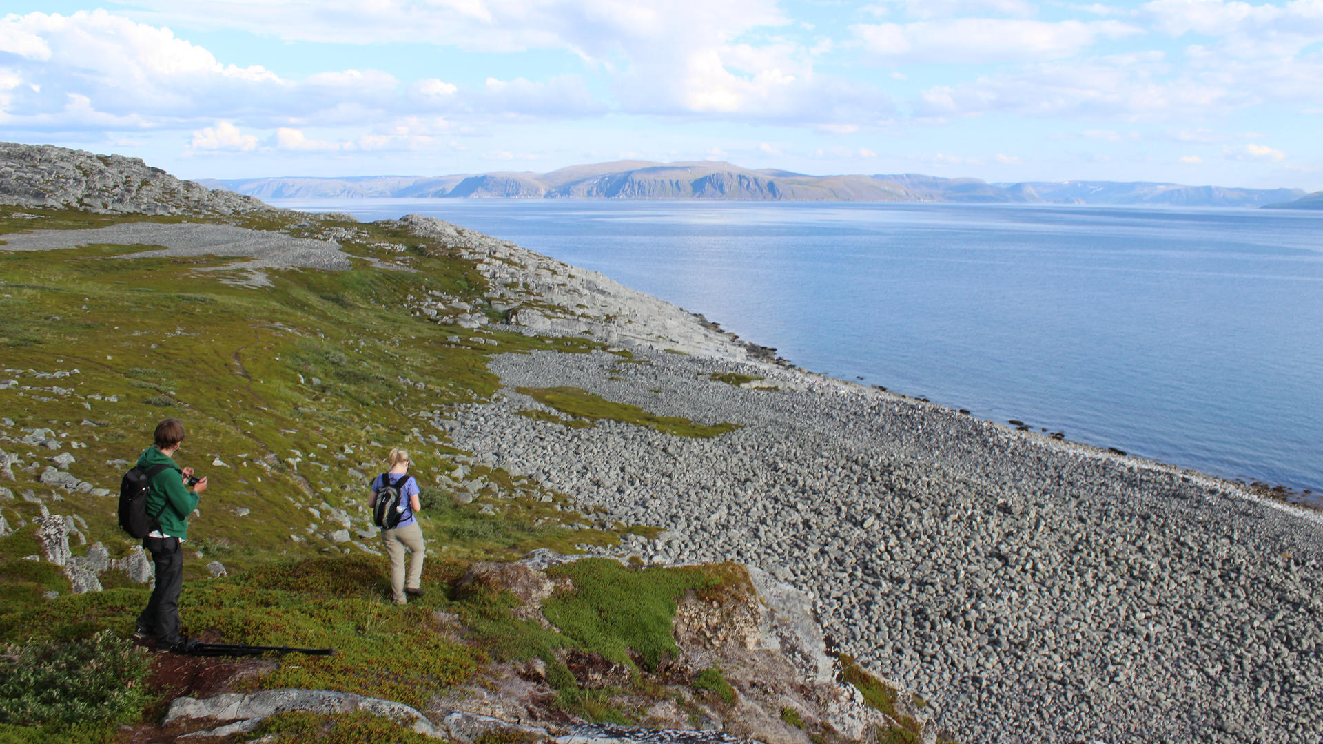
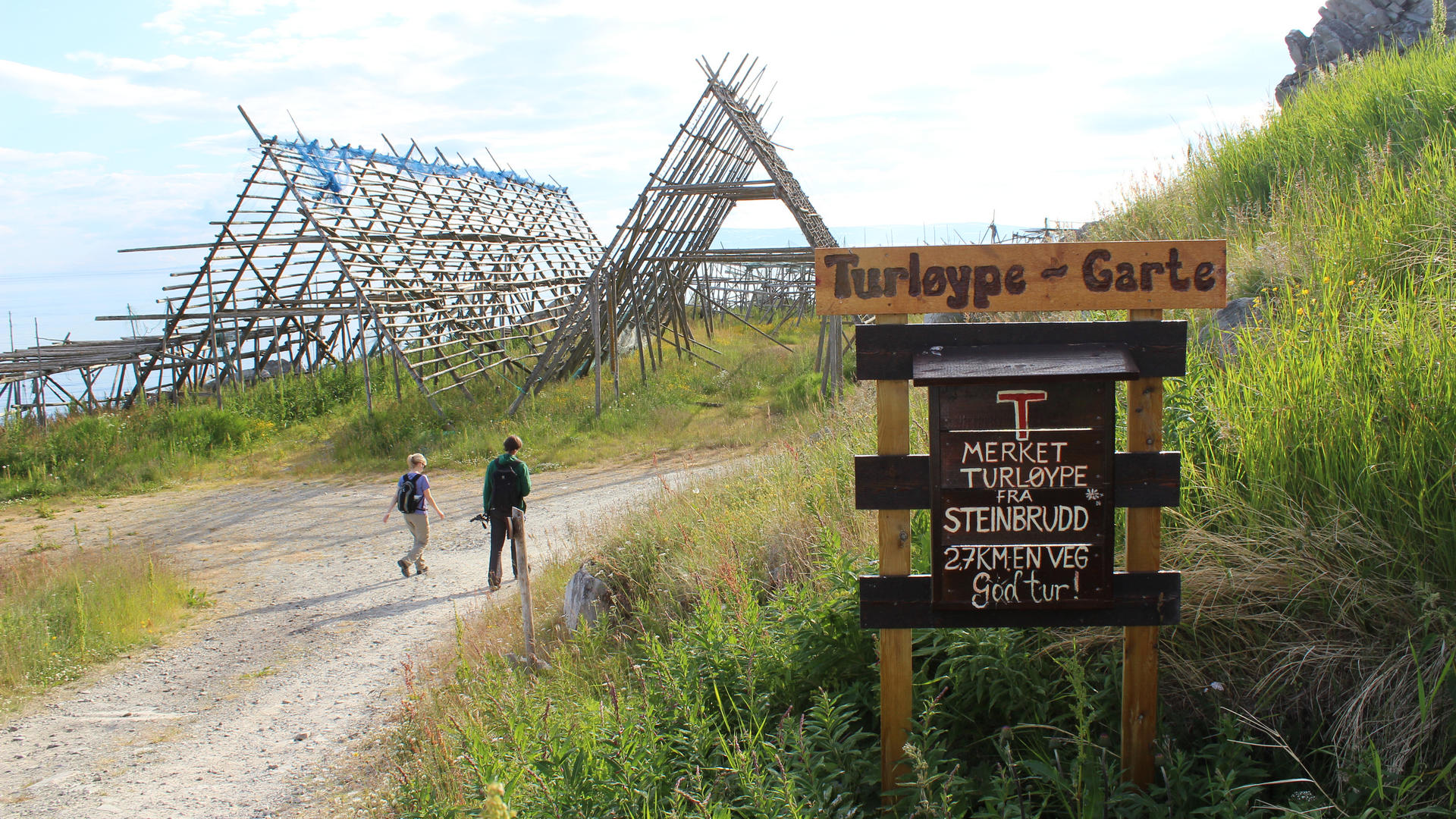
Hiking on the Nordkyn Peninsula
Dyfjord - Garte
Marking
The trail is marked with red T’s and GPS coordinates.
Altitude
The trail’s highest point is ca 70 metres above sea level.
Estimated duration
5 km round trip, ca 2-3 hours.
Difficulty
Easy. In general flat, green walking friendly terrain.
Dyfjord - Garte
Hiking on Nordkyn
Dyfjord - Garte
Hiking on Nordkyn
Dyfjord - Garte
Hiking on Nordkyn
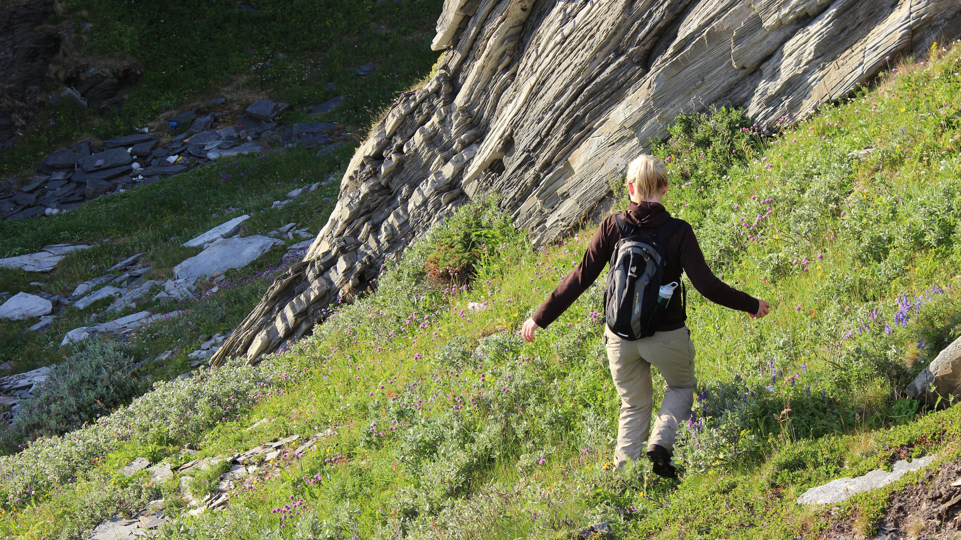
Hiking on the Nordkyn Peninsula
Kifjord - Storvannet
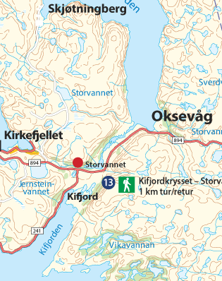
Marking
The trail is marked with directional arrows indicating the distance in kilometers and with red T’s and GPS coordinates.
Altitude
The trail’s highest point is ca 40 metres above sea level.
Estimated duration
1 km round trip, ca half an hour.
Difficulty
Easy. Simple walking terrain through woodland with a well-trodden pathway.
Kifjord - Storvannet
Storevatnet Trail
Hiking on Nordkyn
Kifjord - Storvannet
Storevatnet Trail
Hiking on Nordkyn
Kifjord - Storvannet
Storevatnet Trail
Hiking on Nordkyn
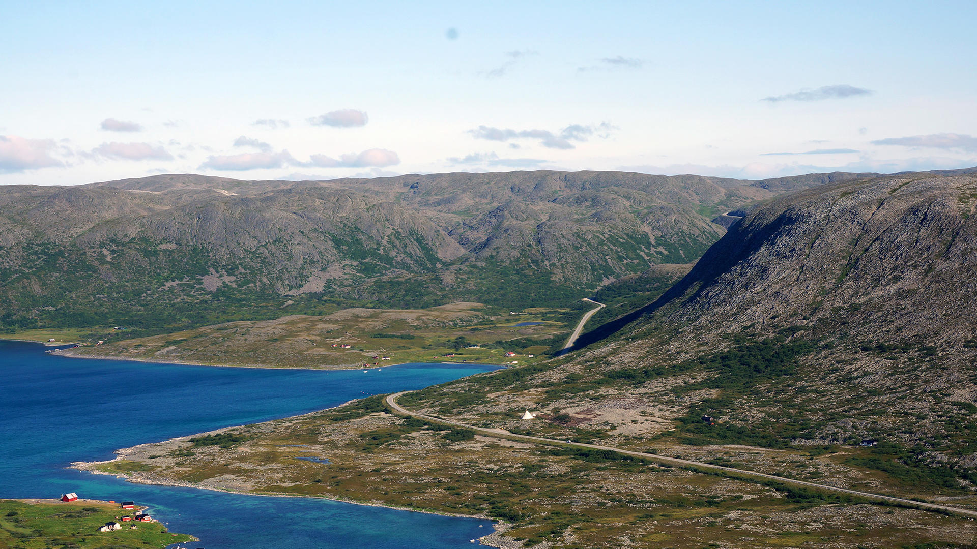
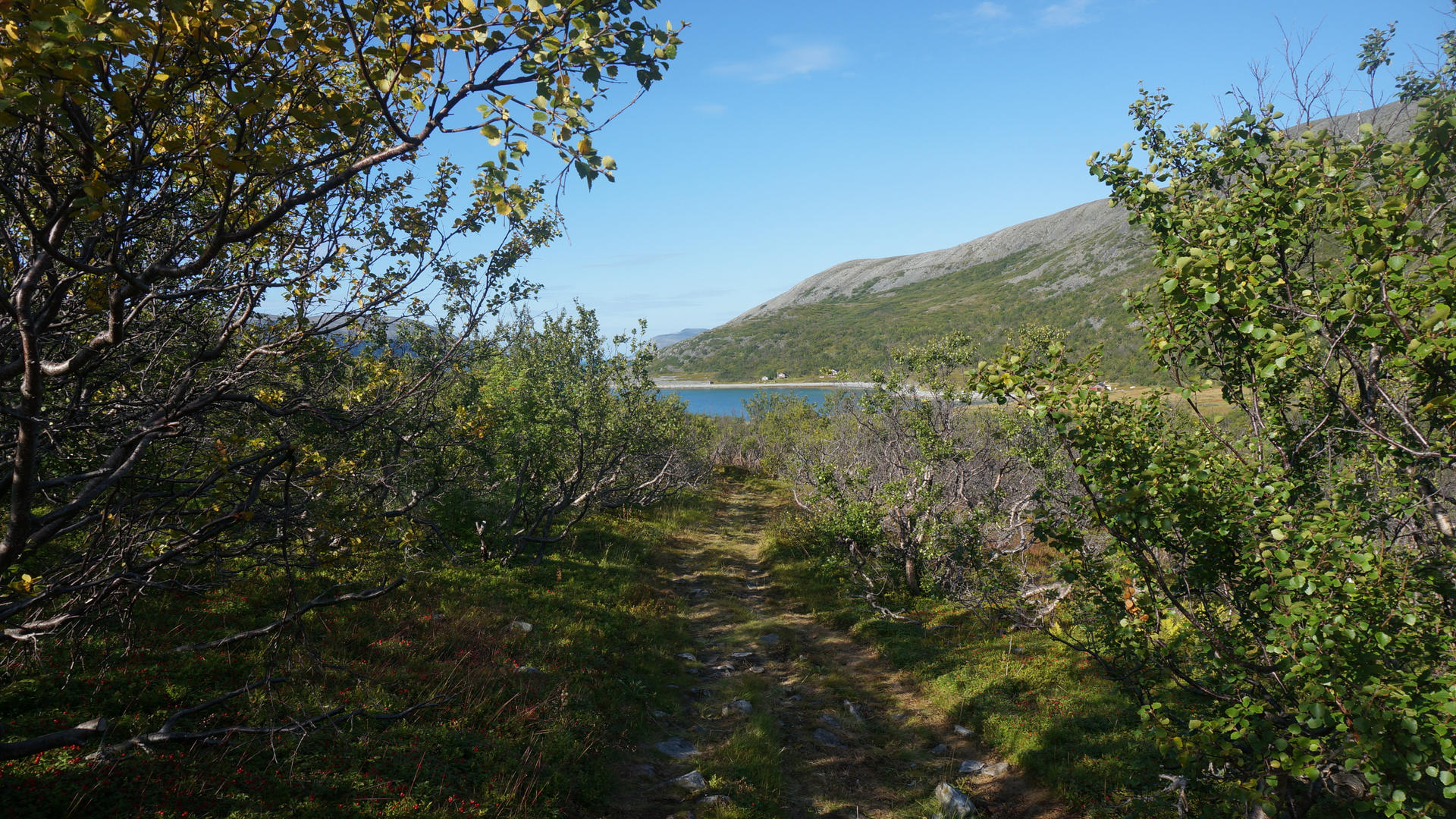
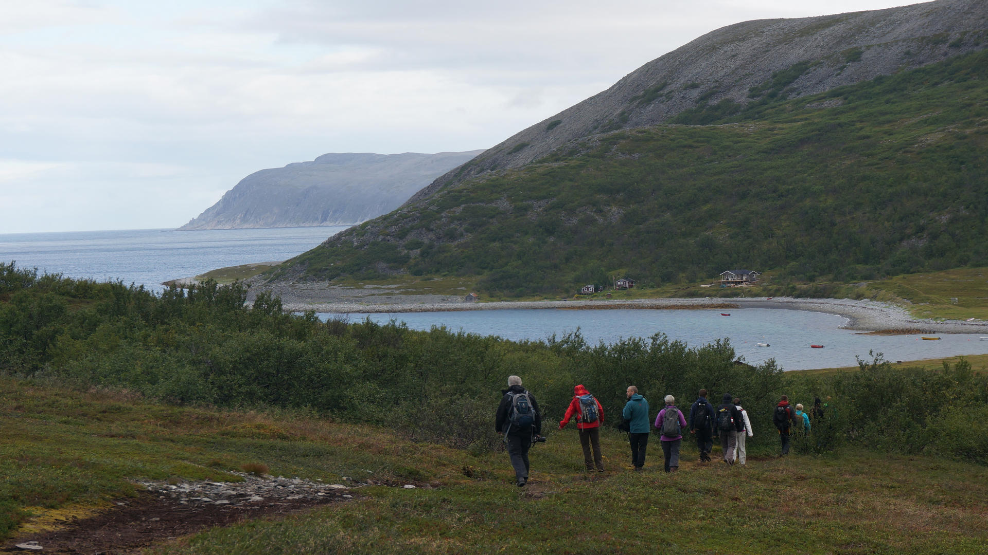
Hiking on the Nordkyn Peninsula
Oksevåg
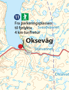
Marking
The trail is not marked with Red T’s or GPS coordinates. There is a well-trodden path along the trail. You pass by several cottages along the way.
Altitude
The trail’s highest point is ca 35 metres above sea level.
Estimated duration
4 km round trip, ca 2 hours.
Difficulty
Easy. Flat and very walking friendly terrain throughout the entire trail.
Oksevåg
Hiking on Nordkyn
Oksevåg
Hiking on Nordkyn
Oksevåg
Hiking on Nordkyn
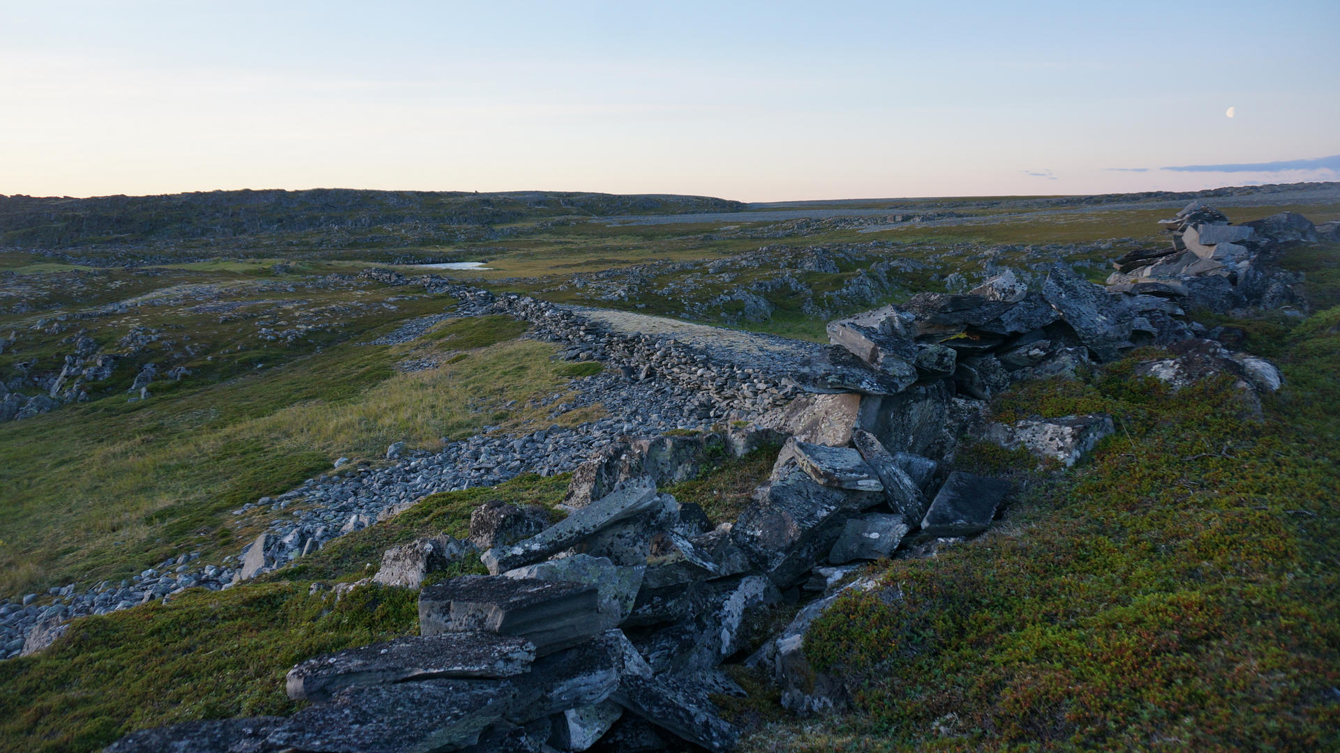
Hiking on the Nordkyn Peninsula
Langdalen
Marking
Since the trail is through a protected area, there are no markings of red T’s, but it is marked with GPS coordinates.
Altitude
The trail’s highest point is ca 180 metres above sea level.
Estimated duration
3 km round trip, ca 1 hour.
Difficulty level
Medium. Rocky in parts, especially along the slopes of the Langdalen valley and at the highest point at the end of the trail.
Langdalen
Hiking on Nordkyn
Langdalen
Hiking on Nordkyn
Langdalen
Hiking on Nordkyn